Digital Maps
-
Relief Map 1 with Transport Links - Full UK - Digital Download
Regular price £9.99Regular priceUnit price per -
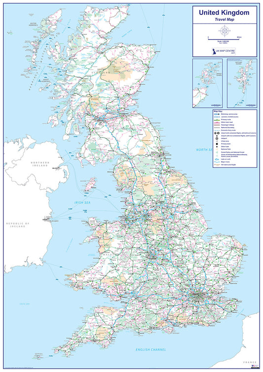
Travel Map 1 - Full UK - Digital Download
Regular price £9.99Regular priceUnit price per -
Relief Map 1 - Full UK - Digital Download
Regular price £9.99Regular priceUnit price per -
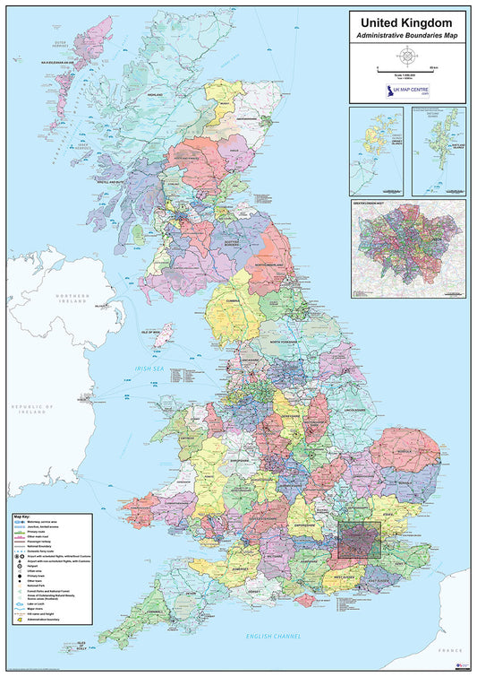
National Admin Boundary Map 1 - Digital Download
Regular price £9.99Regular priceUnit price per -
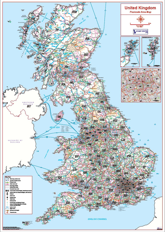
Postcode Area 1 - Full UK - Digital Download
Regular price £9.99Regular priceUnit price per -
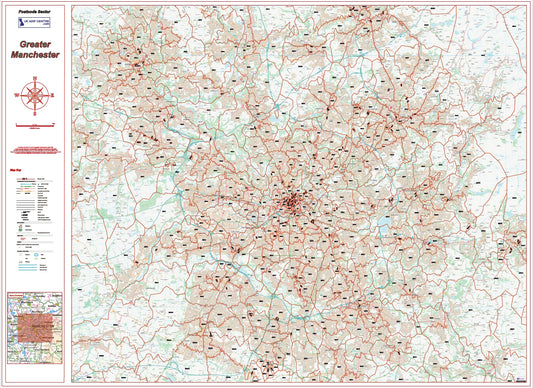
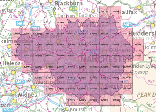
Postcode City Sector Map - Greater Manchester - Digital Download
Regular price £9.99Regular priceUnit price per -
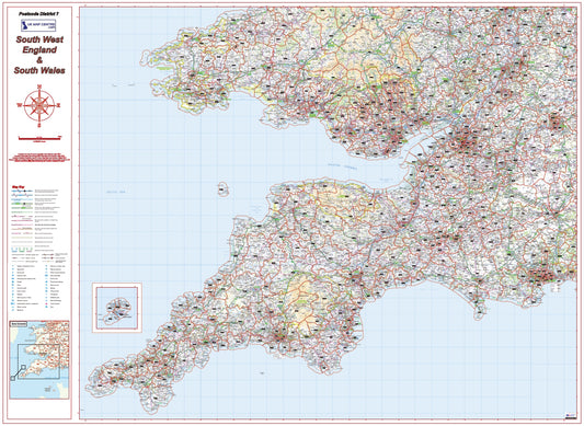
Postcode District Map 7 - South West England & South Wales - Digital Download
Regular price £9.99Regular priceUnit price per -
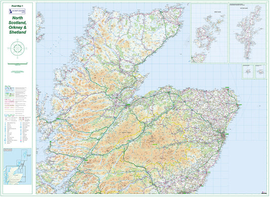
Road Map 1 - Northern Scotland, Orkney & Shetland - Digital Download
Regular price £9.99Regular priceUnit price per -
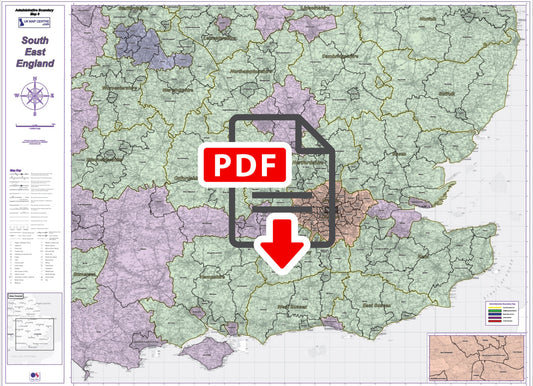
Admin Boundary Map 8 - South East England - Digital Download
Regular price £9.99Regular priceUnit price per -
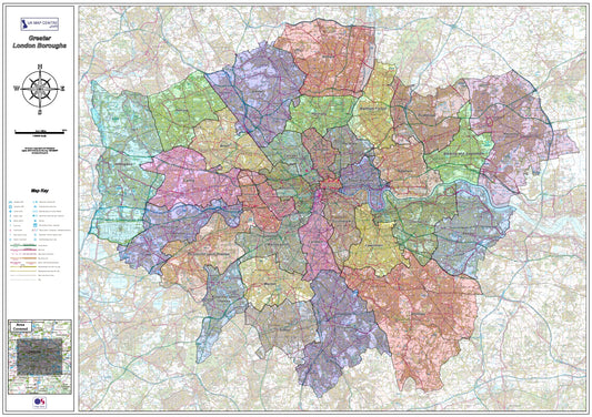
London Boroughs Map - Digital Download
Regular price £9.99Regular priceUnit price per -
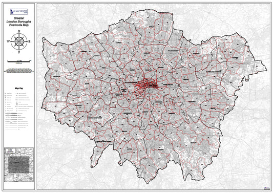
London Boroughs Postcode Map - Digital Download
Regular price £9.99Regular priceUnit price per -
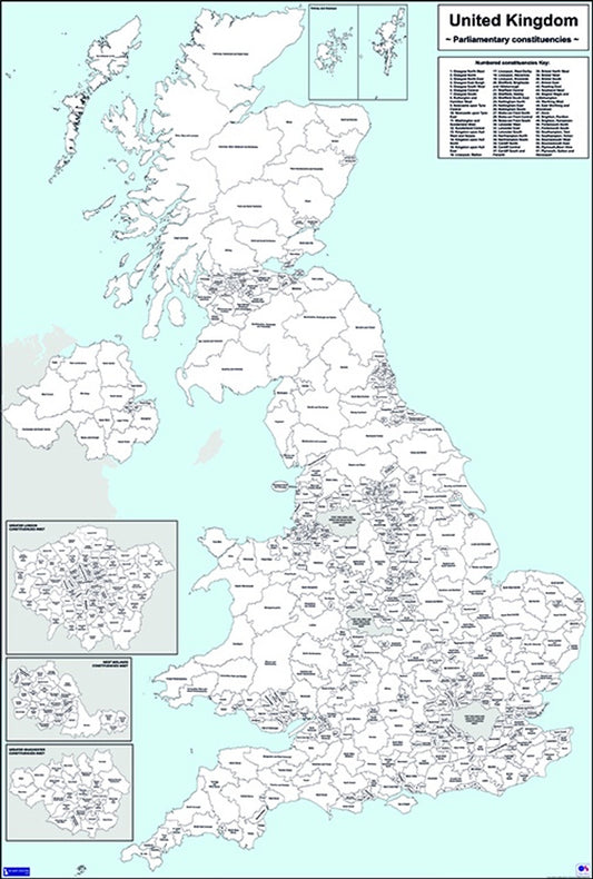
UK Parliamentary Map - Westminster Electoral Boundaries - Digital Download
Regular price £9.99Regular priceUnit price per
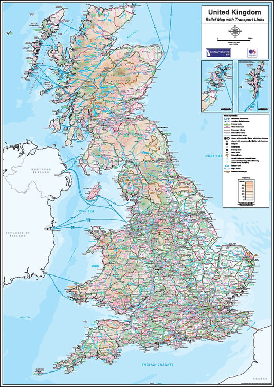
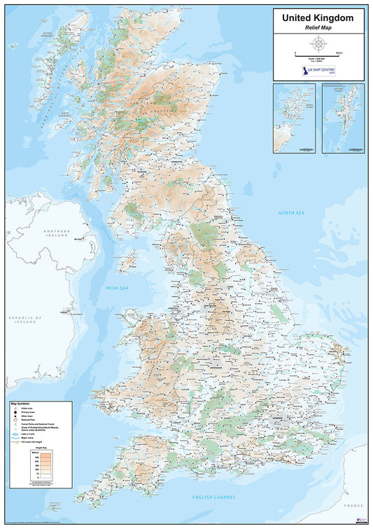
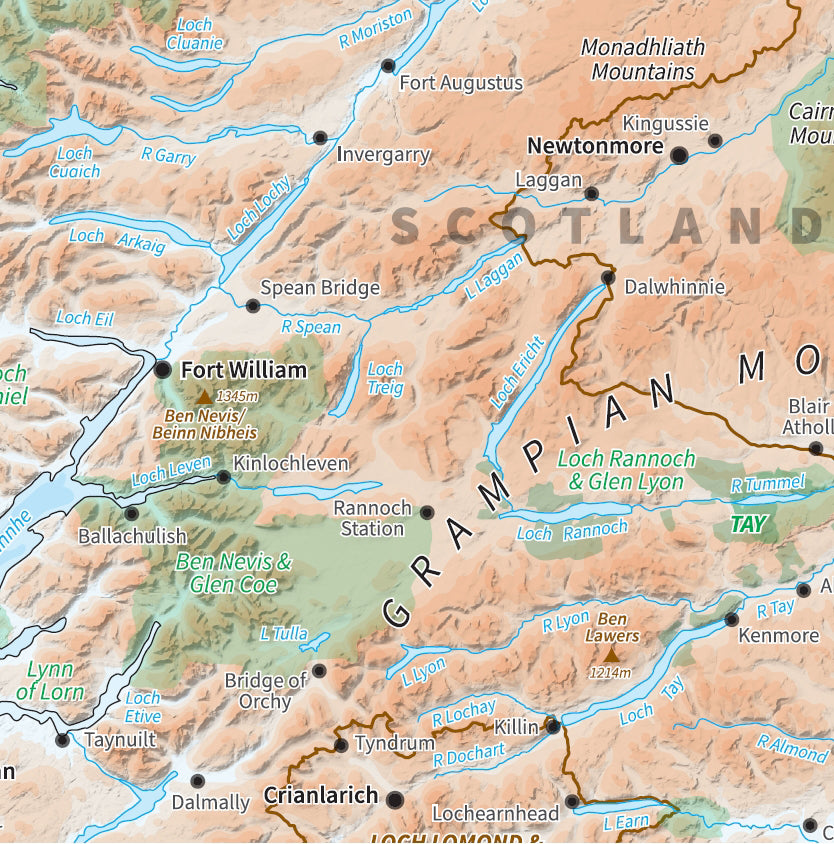
Relief Maps
Created using Ordnance Survey Miniscale Relief mapping these maps show
the heights across the UK as shading. The standard relief map shows
major cities only as an indication, we also produce a Relief map with
Transport links which shows the major road and rail connections across
the countries.
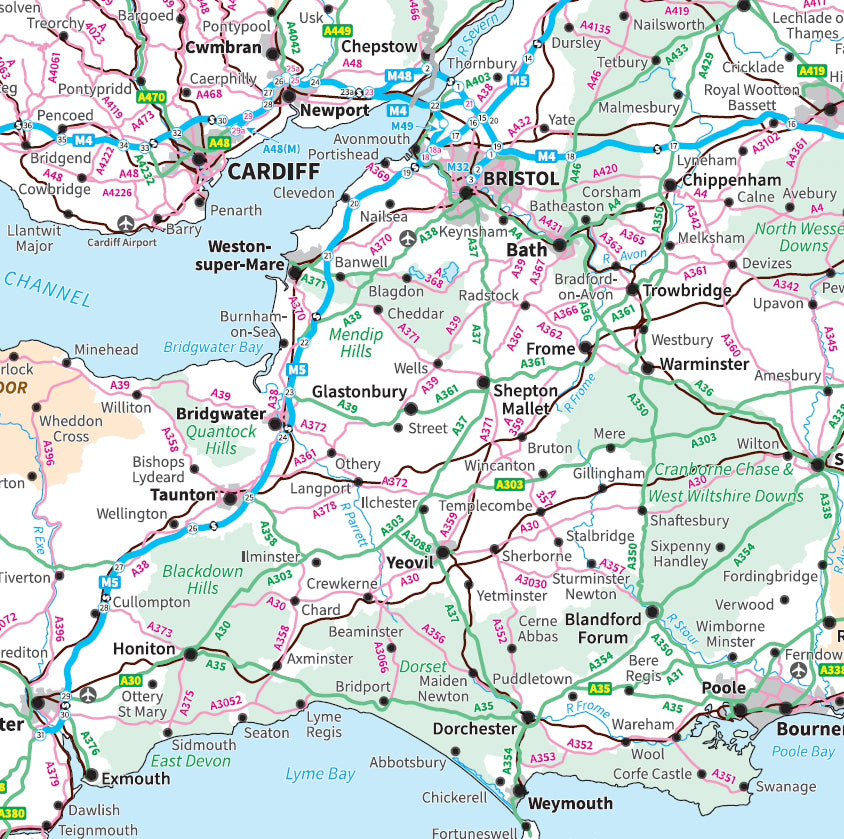
Travel Maps
The Travel Maps have been created using Ordnance Survey Miniscale Travel
mapping this series is ideal for planning routes on a national scale,
major towns and cities and the communication networks are clearly
displayed.
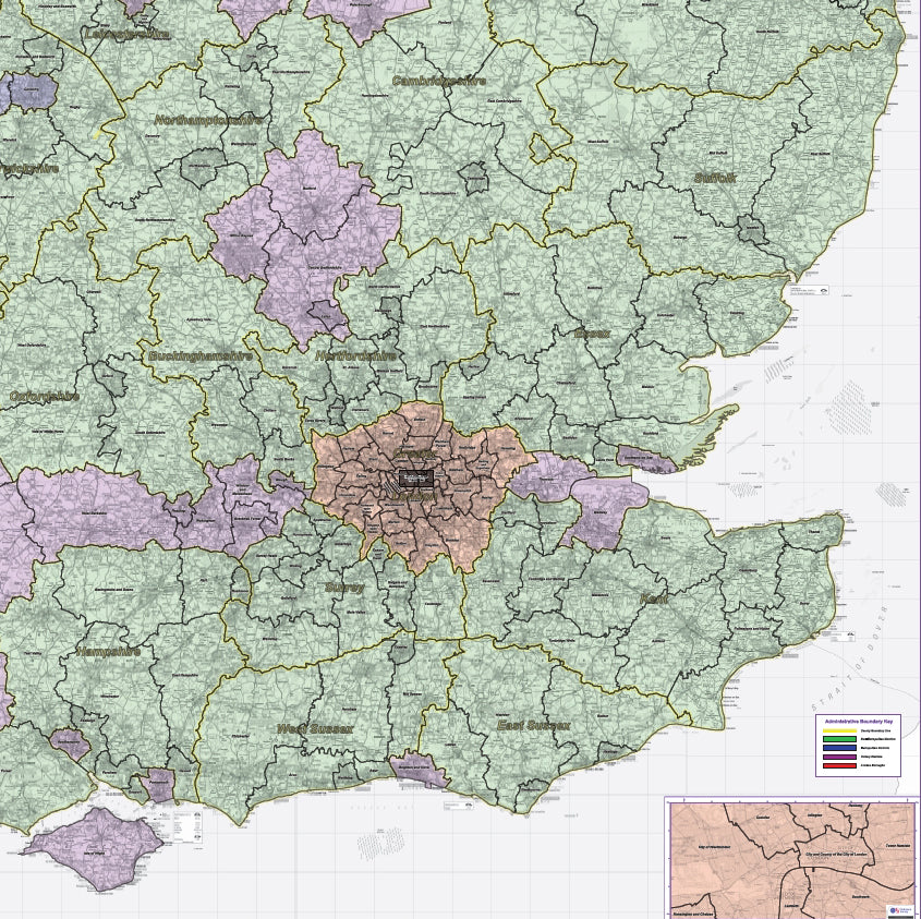
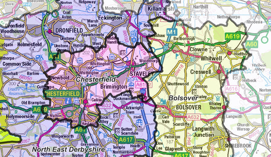
Regional Admin Maps
See our collectons of Admin maps covering the UK at Regional level.
Using up-to-date OS mapping these maps are ideal for business planning.
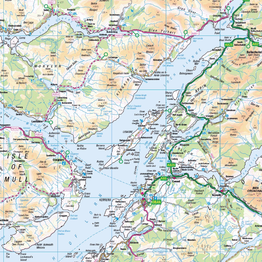
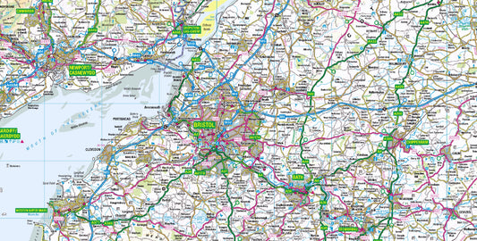
Road Maps
The Road Map series covers the UK across 8 sheets. Created using
up-to-date Ordnance Survey Road mapping, these maps clearly show the
cities, towns and villages across the UK and the Road and Rail networks
that connect them. Ideal for business or leisure use.
About us - the UK Map Centre LLP
Blog posts
View all-
New Products - OS Map Tile Sets for UK Counties
We've launched a new series of products: OS Tiles Counties and Districts. These products enable you to easly purchase data sets which cover the largest UK Administrative areas. Whether you...
New Products - OS Map Tile Sets for UK Counties
We've launched a new series of products: OS Tiles Counties and Districts. These products enable you to easly purchase data sets which cover the largest UK Administrative areas. Whether you...
-
July Special Offer - Buy 1 Get 1 Half-Price on ...
We're delighted to announce a Special Offer on the County and District Maps that runs through July - Buy one map and get a second half price! You can browse...
July Special Offer - Buy 1 Get 1 Half-Price on ...
We're delighted to announce a Special Offer on the County and District Maps that runs through July - Buy one map and get a second half price! You can browse...
-
Custom OS Road Map Plots
Custom OS Road Map Plots - from A4 to A0 sized Sheets - emailed to you within minutes We've set up a new product page where you can plot your...
Custom OS Road Map Plots
Custom OS Road Map Plots - from A4 to A0 sized Sheets - emailed to you within minutes We've set up a new product page where you can plot your...


